
Ceci est une version archivée de LivreHautesAlpesPeriode2 à 2010-02-17 20:55:35.
Département des Hautes-Alpes - Période intermédiaire
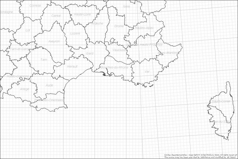
> retour Cartographie "somme"
> retour Période historique
> retour Période contemporaine
24 mailles et 4 données en tout.
Warning: imagefilledellipse(): 66 is not a valid Image resource in /home/onemfran/www/saga/tools/cartowiki/actions/mapview.php on line 602
Warning: imagefilledellipse(): 66 is not a valid Image resource in /home/onemfran/www/saga/tools/cartowiki/actions/mapview.php on line 602
Warning: imagefilledellipse(): 66 is not a valid Image resource in /home/onemfran/www/saga/tools/cartowiki/actions/mapview.php on line 602
*
[EOURRES, Col St Pierre, BENCE Stéphane, 1986] (Carte)
[EOURRES, Les Peyres, BERNIER Christophe, 1983] (Carte)
[EOURRES, Montagne de Mare, BENCE Stéphane, 1986] (Carte)
[SAINT-PIERRE-AVEZ, Serre Beylon, BERNIER Christophe, 1970] (Carte)
Il n'y a pas de commentaire sur cette page.
[Afficher commentaires/formulaire]

