
Ceci est une version archivée de LivreAlpesMaritimesPeriode3 à 2010-02-17 10:45:01.
Département des Alpes-maritimes - période contemporaine
> Retour Cartographie "somme"
> Retour Période historique
> Retour Période intermédiaire
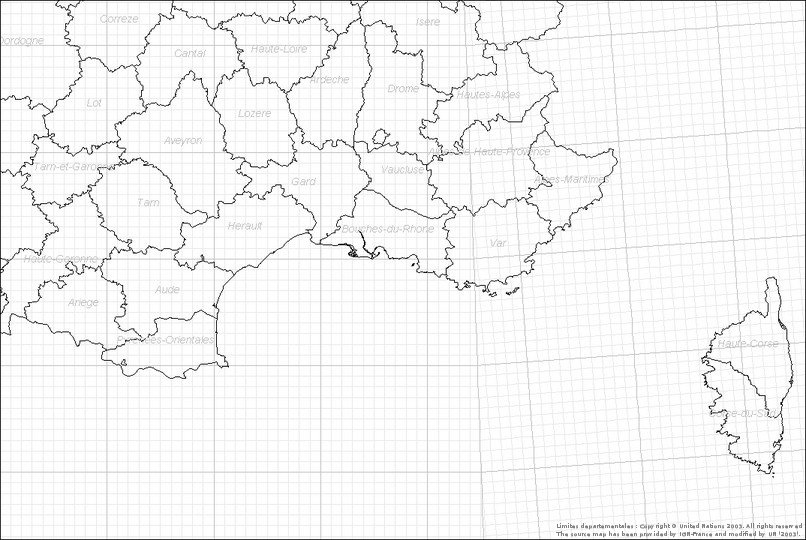
20 données.
Warning: imagefilledellipse(): 66 is not a valid Image resource in /home/onemfran/www/saga/tools/cartowiki/actions/mapview.php on line 602
Warning: imagefilledellipse(): 66 is not a valid Image resource in /home/onemfran/www/saga/tools/cartowiki/actions/mapview.php on line 602
Warning: imagefilledellipse(): 66 is not a valid Image resource in /home/onemfran/www/saga/tools/cartowiki/actions/mapview.php on line 602
Warning: imagefilledellipse(): 66 is not a valid Image resource in /home/onemfran/www/saga/tools/cartowiki/actions/mapview.php on line 602
Warning: imagefilledellipse(): 66 is not a valid Image resource in /home/onemfran/www/saga/tools/cartowiki/actions/mapview.php on line 602
Warning: imagefilledellipse(): 66 is not a valid Image resource in /home/onemfran/www/saga/tools/cartowiki/actions/mapview.php on line 602
Warning: imagefilledellipse(): 66 is not a valid Image resource in /home/onemfran/www/saga/tools/cartowiki/actions/mapview.php on line 602
*
[COLLE-SUR-LOUP, Chemin de la Rougière, BERNIER Christophe, 2007] (Carte)
[CONTES, Village, BERNIER Christophe, 2005] (Carte)
[BERRE-LES-ALPES, Les Ourdres superieures, BERNIER Christophe, 2007] (Carte)
[BLAUSASC, La pointe, BERNIER Christophe, 2007] (Carte)
[BORMES-LES-MIMOSAS, Sur la route des crêtes, BERNIER Christophe, 2000] (Carte)
[CIPIERES, , BERNIER Christophe, 2005] (Carte)
[EZE, Le Fort de la Revère, BERNIER Christophe, 2004] (Carte)
[EZE, Le Fort de la Revère, BERNIER Christophe, 2004] (Carte)
[EZE, Le Fort de la Revère, BERNIER Christophe, 2004] (Carte)
[EZE, Le Fort de la Revère, BERNIER Christophe, 2004] (Carte)
[EZE, Le Fort de la Revère, BERNIER Christophe, 2004] (Carte)
[EZE, Le Fort de la Revère, BERNIER Christophe, 2002] (Carte)
[EZE, Le Fort de la Revère, BERNIER Christophe, 2003] (Carte)
[EZE, Parc forestier de la Grande Corniche, BERNIER Christophe, 2006] (Carte)
[GRASSE, Plan de Grasse, BERNIER Christophe, 2005] (Carte)
[GRÉOLIÈRES, Autour du village, sur le plateau de Caussols, BERNIER Christophe, 2005] (Carte)
[GRÉOLIÈRES, Le Suy, Station les Neiges sur la D902, BERNIER Christophe, 2006] (Carte)
[GRÉOLIÈRES, Les Neiges, BERNIER Christophe, 2007] (Carte)
[L'ESCARENE, Dans des friches d'anciennes plantations d'oliviers, exposées au sud, sur les collines derrière la principauté de Monaco, BERNIER Christophe, 2003] (Carte)
[L'ESCARÈNE, Quartier Saint Pancrace, BERNIER Christophe, 2005] (Carte)
Il n'y a pas de commentaire sur cette page.
[Afficher commentaires/formulaire]

