
Ceci est une version archivée de LivreHautesAlpes à 2010-02-17 20:28:59.
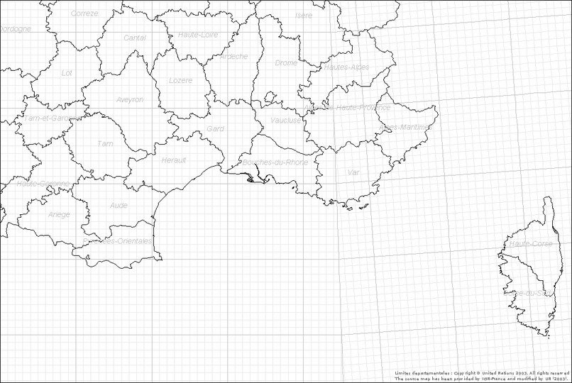
Département des Hautes-Alpes - DONNEES TOTALES
Période historique
Période intermédiaire
Période contemporaine
- mailles et 16 données
Warning: imagefilledellipse(): 66 is not a valid Image resource in /home/onemfran/www/saga/tools/cartowiki/actions/mapview.php on line 602
Warning: imagefilledellipse(): 66 is not a valid Image resource in /home/onemfran/www/saga/tools/cartowiki/actions/mapview.php on line 602
Warning: imagefilledellipse(): 66 is not a valid Image resource in /home/onemfran/www/saga/tools/cartowiki/actions/mapview.php on line 602
Warning: imagefilledellipse(): 66 is not a valid Image resource in /home/onemfran/www/saga/tools/cartowiki/actions/mapview.php on line 602
Warning: imagefilledellipse(): 66 is not a valid Image resource in /home/onemfran/www/saga/tools/cartowiki/actions/mapview.php on line 602
Warning: imagefilledellipse(): 66 is not a valid Image resource in /home/onemfran/www/saga/tools/cartowiki/actions/mapview.php on line 602
Warning: imagefilledellipse(): 66 is not a valid Image resource in /home/onemfran/www/saga/tools/cartowiki/actions/mapview.php on line 602
Warning: imagefilledellipse(): 66 is not a valid Image resource in /home/onemfran/www/saga/tools/cartowiki/actions/mapview.php on line 602
Warning: imagefilledellipse(): 66 is not a valid Image resource in /home/onemfran/www/saga/tools/cartowiki/actions/mapview.php on line 602
*
[ASPRES-SUR-BUËCH, Agnielle, BERNIER Christophe, 2009] (Carte)
[EOURRES, Col Saint Pierre, BERNIER Christophe, 2007] (Carte)
[EOURRES, Col St Pierre, BENCE Stéphane, 1986] (Carte)
[EOURRES, Col St Pierre, BERNIER Christophe, 2008] (Carte)
[EOURRES, La Bellonne, BERNIER Christophe, 2006] (Carte)
[EOURRES, La montagne de Mare, BERNIER Christophe, 2007] (Carte)
[EOURRES, Les Peyres, BERNIER Christophe, 1983] (Carte)
[EOURRES, Montagne de Mare, BENCE Stéphane, 1986] (Carte)
[EOURRES, Village, BERNIER Christophe, 2006] (Carte)
[EYGUIANS, Serre d'Astier, Est du Riou, BERNIER Christophe, 2007] (Carte)
[GAP, Montagne de Charance, crête méridionale, BERNIER Christophe, 2005] (Carte)
[LA ROCHE-DES-ARNAUDS, Basse Corréo, BERNIER Christophe, 2007] (Carte)
[L'EPINE, Bergeries de Vaucluse, BERNIER Christophe, 2009] (Carte)
[RIBIERS, La Marquise, BERNIER Christophe, 2009] (Carte)
[SAINT-PIERRE-AVEZ, Serre Beylon, BERNIER Christophe, 2009] (Carte)
[SAINT-PIERRE-AVEZ, Serre Beylon, BERNIER Christophe, 1970] (Carte)
Il n'y a pas de commentaire sur cette page.
[Afficher commentaires/formulaire]

